 Alamero
| ——————————————————————————————————————————————— |
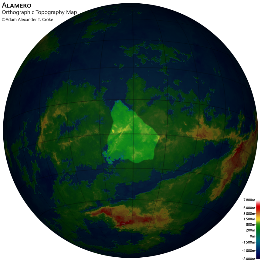
Alamero (/ælə'mɛəroʊ/ AL-ə-MAIR-oh; oʀᴛʜoᴅox: er) is a country in central Ëana. It is bordered to the north by Mero Bay; to the west and northwest by Merimor; to the southwest by Fira Kanas; to the south by Viala Ban; to the southeast by Carratho; and to the east and northeast by Egladris.
 Under Construction
Under Construction![[Flag]](Images/Alamero_flag.png)
Flag
| —————————————————— |
| Continent: |
Ëana |
| Capital: | Moreno 22°11'04"S, 106°11'58"W 22°11'04"S, 106°11'58"W
|
| Coast Length: | 3 013.440 km (36th) |
| Land Area: |
4 545 507.420 km² (13th) |
| Population: |
2 809 142 (6th) |
| —————————————————— |
Orthographic Political Map
Orthographic Terrain Map
Orthographic Topography Map
| —————————————————— |
| City | Location | Population | ||
 |
Moreno |
22°11'04"S, 106°11'58"W | 339 879 | (7th) |
 |
Mesa |
9°04'10"S, 109°20'46"W | 265 314 | (14th) |
 |
Arsio |
26°43'14"S, 117°05'48"W | 180 344 | (40th) |
 |
Sorosa |
19°28'55"S, 104°03'38"W | 87 643 | (112th) |
|
Desera |
14°24'55"S, 99°32'07"W | 84 103 | (117th) |
|
Mero |
1°11'31"S, 111°58'35"W | 73 036 | (130th) |
|
Gillia |
21°02'41"S, 116°50'09"W | 58 429 | (158th) |
|
Palla |
23°52'31"S, 110°55'05"W | 43 821 | (197th) |
|
Yoma |
24°49'13"S, 97°45'59"W | 29 214 | (253rd) |