Sirestir
———————————————————————————————————————————————
Sirestir
(
/'sirəstir/
SEER-ə-steer
;
oʀᴛʜoᴅox:
Sest
) is a country in southwestern
Seragasi
. It is bordered to the south by
Norastir
; to the west by
Nevrestir
; to the north by
Tenia
; and to the east by the Stirian Seas.
Under Construction
Sirestir
Flag
——————————————————
Statistics
Continent:
Seragasi
Capital:
Divanasa
24°47'01"S, 66°06'10"E
Coast Length:
6 505.142 km (
20th
)
Land Area:
3 580 240.267 km² (
19th
)
Population:
1 585 906 (
15th
)
——————————————————
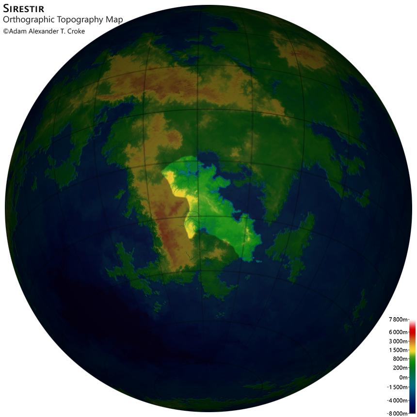
Maps
Orthographic Political Map
Orthographic Terrain Map
Orthographic Topography Map
——————————————————
Cities
City
Location
Population
Divanasa
24°47'01"S, 66°06'10"E
269 289
(
13th
)
Esti
33°22'11"S, 69°24'05"E
190 426
(
35th
)
Ambas
18°32'56"S, 57°05'08"E
129 515
(
72nd
)
Asi
31°28'45"S, 76°57'13"E
62 193
(
148th
)
Marami
32°38'51"S, 61°14'48"E
42 764
(
207th
)
Estala
16°52'09"S, 63°51'31"E
35 637
(
230th
)
Pahas
16°40'36"S, 53°17'06"E
28 510
(
256th
)
Dengir
28°34'36"S, 57°32'02"E
21 382
(
279th
)
Vona
38°42'11"S, 78°08'58"E
14 255
(
308th
)
Copyright ©2021 Adam Alexander T. Croke. All rights reserved.
 Sirestir
 Under Construction
![[Flag]](Images/Sirestir_flag.png)
 24°47'01"S, 66°06'10"E


